Launch Conditions
Two developed boat ramps are available at French Meadows Reservoir and one developed boat ramp is available at Hell Hole Reservoir. Information about these boat ramps, and examples of conditions under different water level conditions, is provided below.
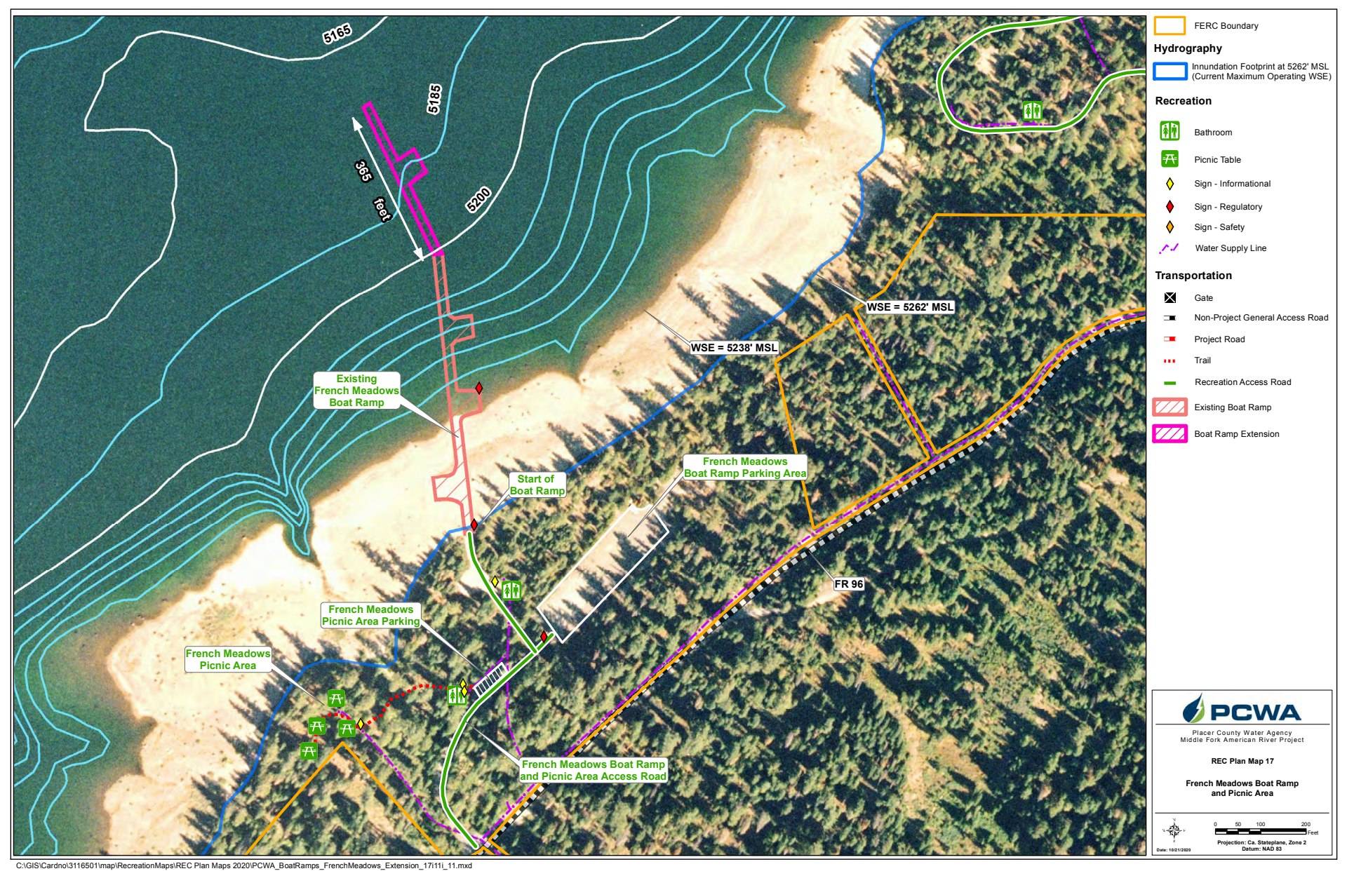
French Meadows Boat Ramp (south side of French Meadows Reservoir)
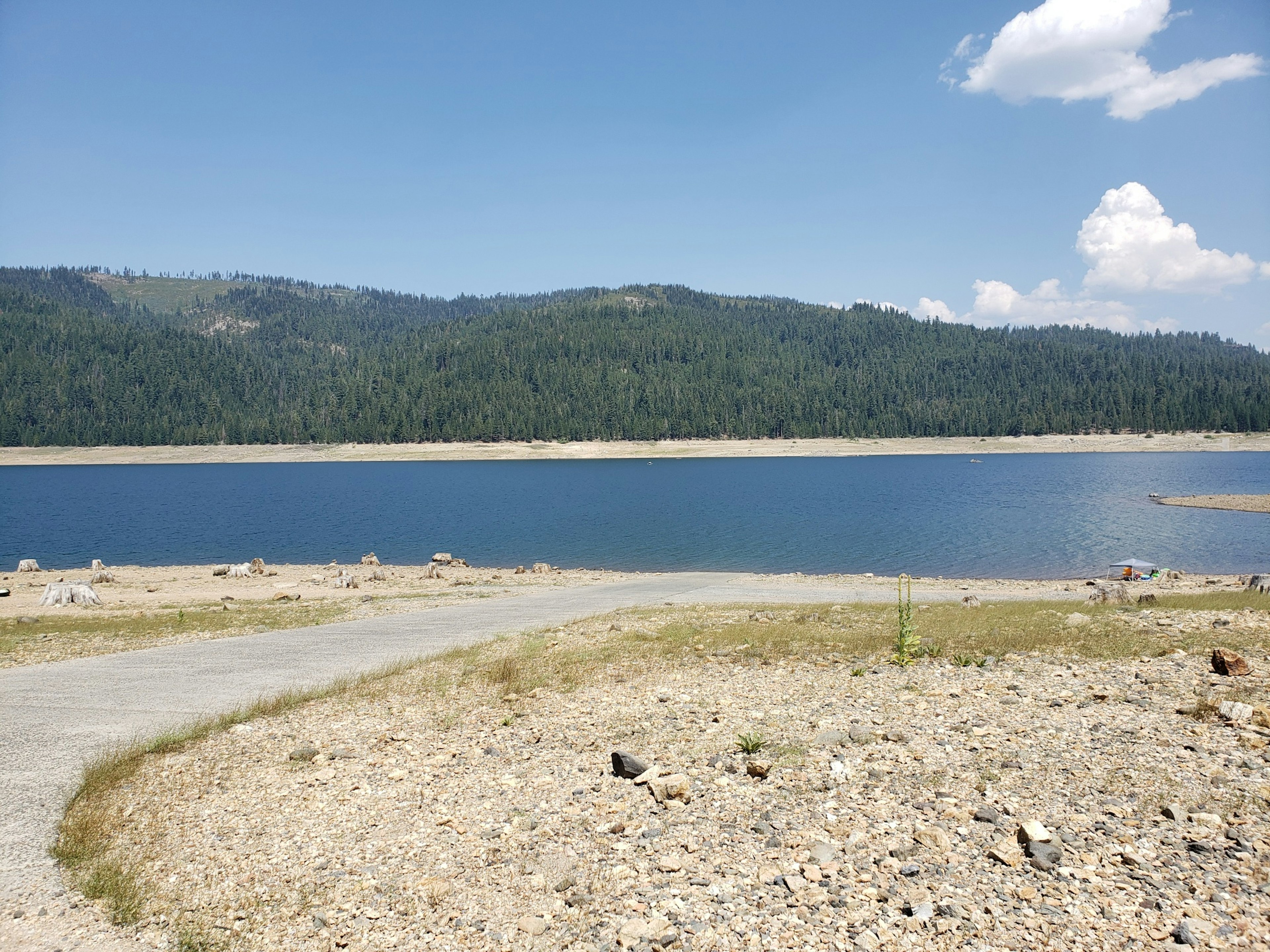
Date: 7/29/2021
Water Surface Elevation: 5,204' msl
Storage: 66,500 acre-feet
Boat Launch Terminus Elevation: 5,200' msl
Difference: +4' Above Launch Terminus
7 Day Elevation Change: -2'
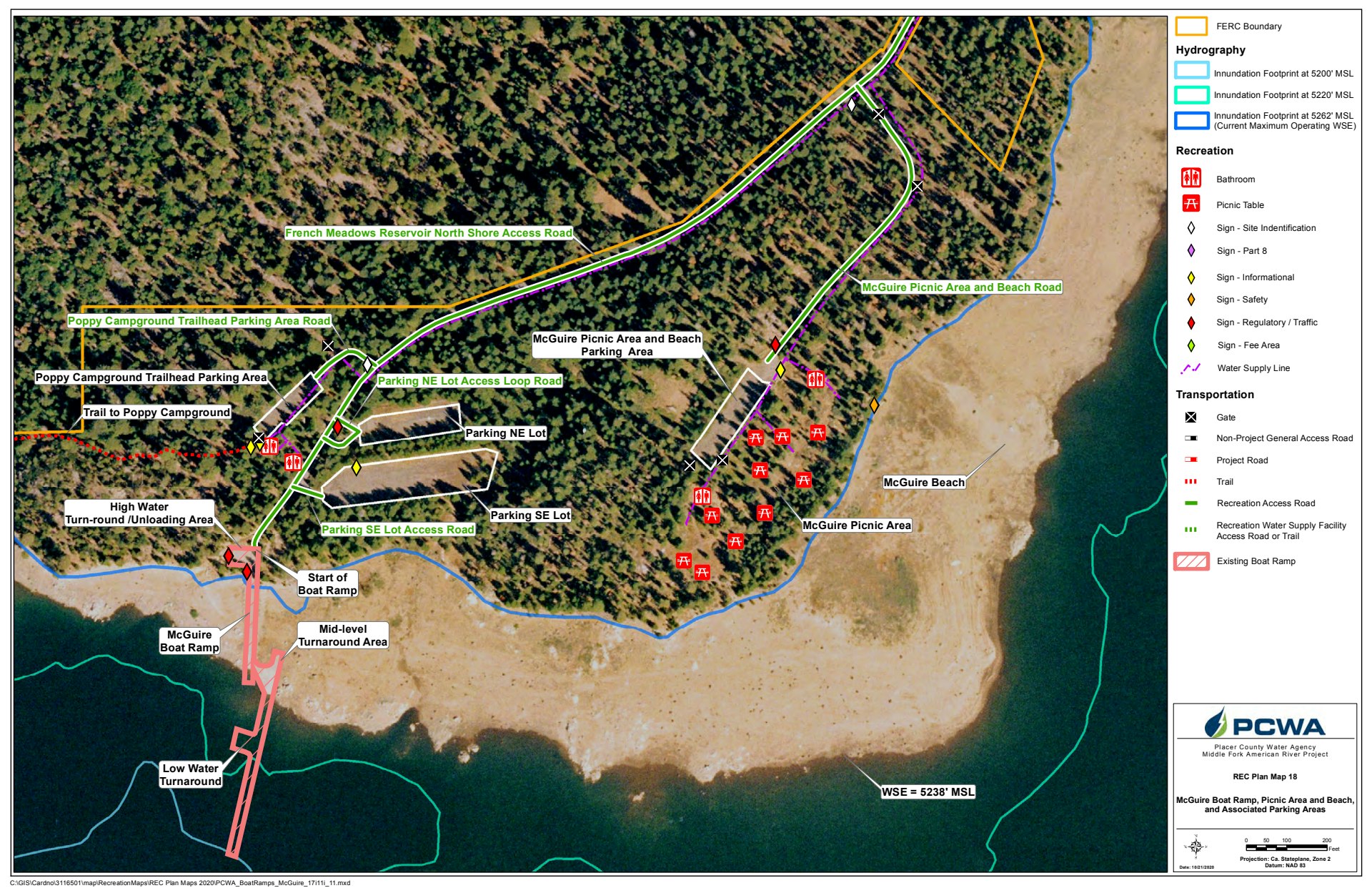
McGuire Boat Launch (north side of French Meadows Reservoir)
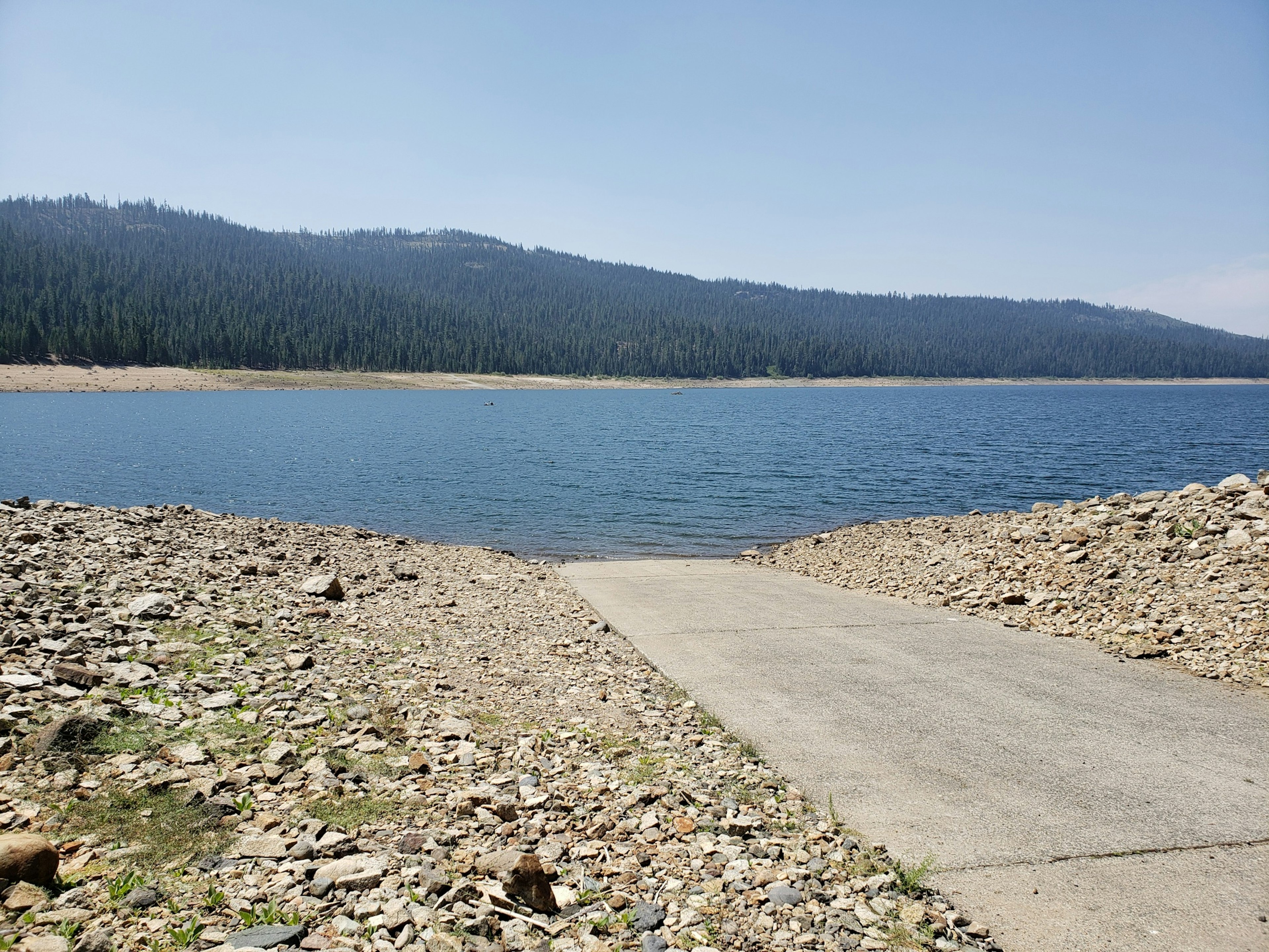
Date: 7/29/2021
Water Surface Elevation: 5,204’ msl
Storage: 66,500 acre-feet
7 Day Elevation Change: -2’
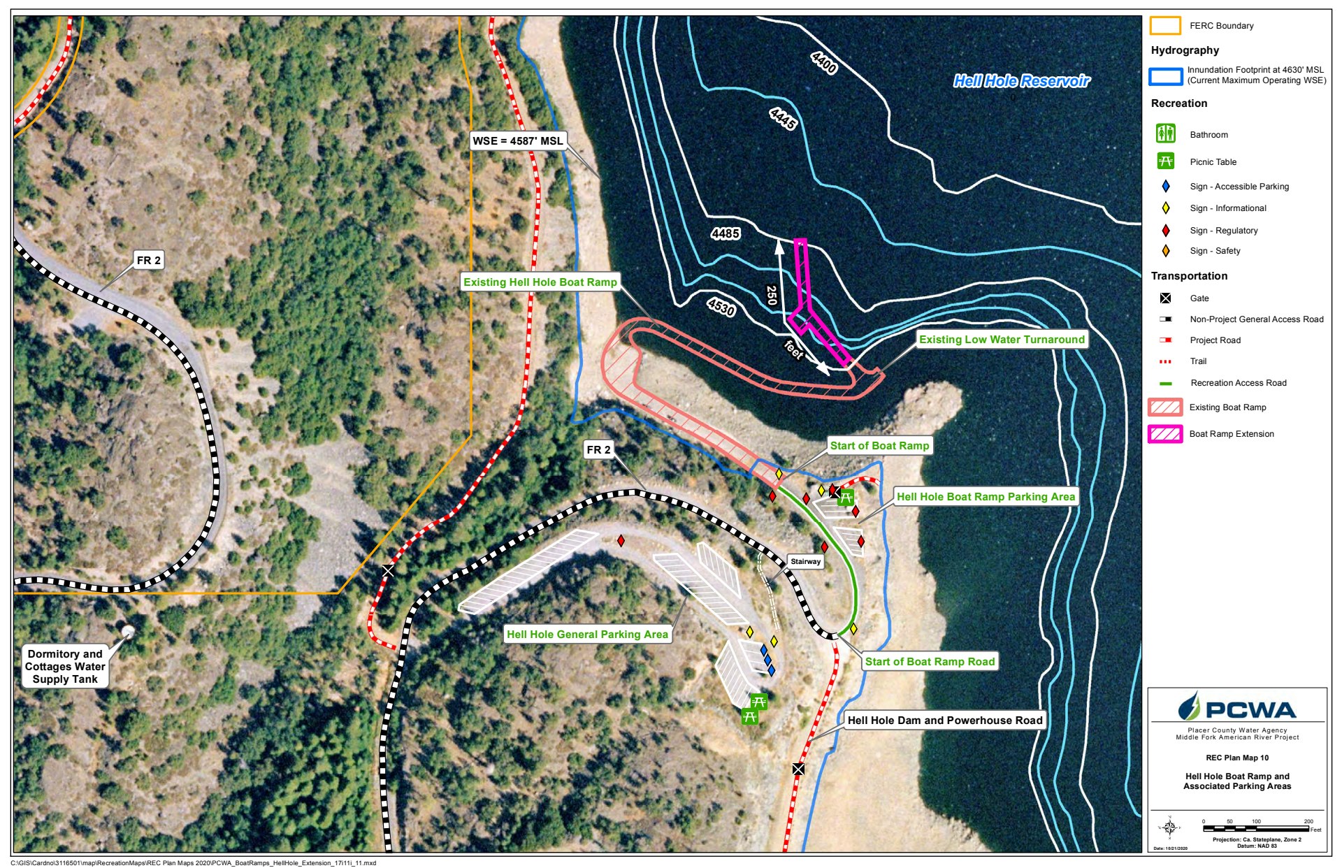
Hell Hole Boat Ramp
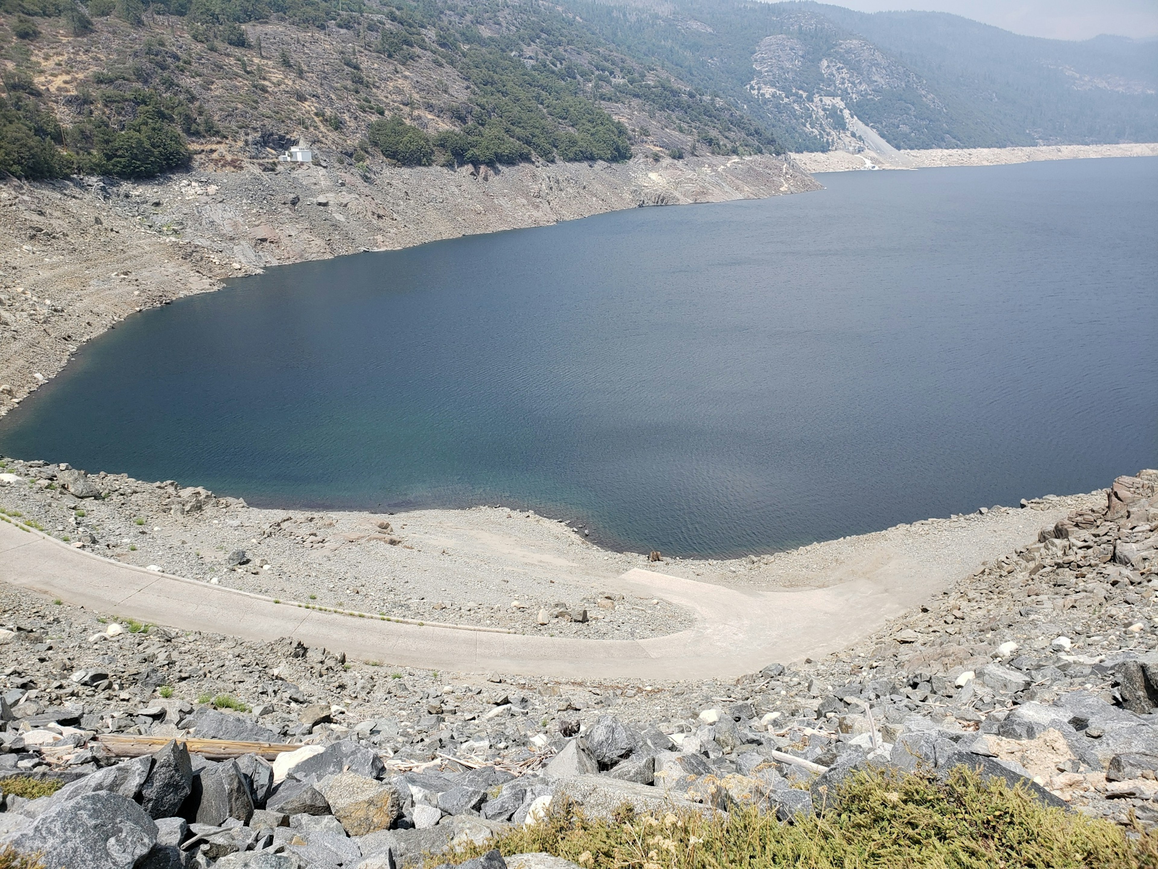
Date: 7/29/2021
Water Surface Elevation: 4,517' msl
Boat Launch Terminus Elevation: 4,530' msl
Difference: -13' Below Launch Terminus
7 Day Elevation Change: -4.5' msl
Reference Maps
French Meadows Boat Ramp and Picnic Area
McGuire Boat Ramp, Picnic and Launch Area/Parking Areas
Hell Hole Boat Ramp/Parking Areas
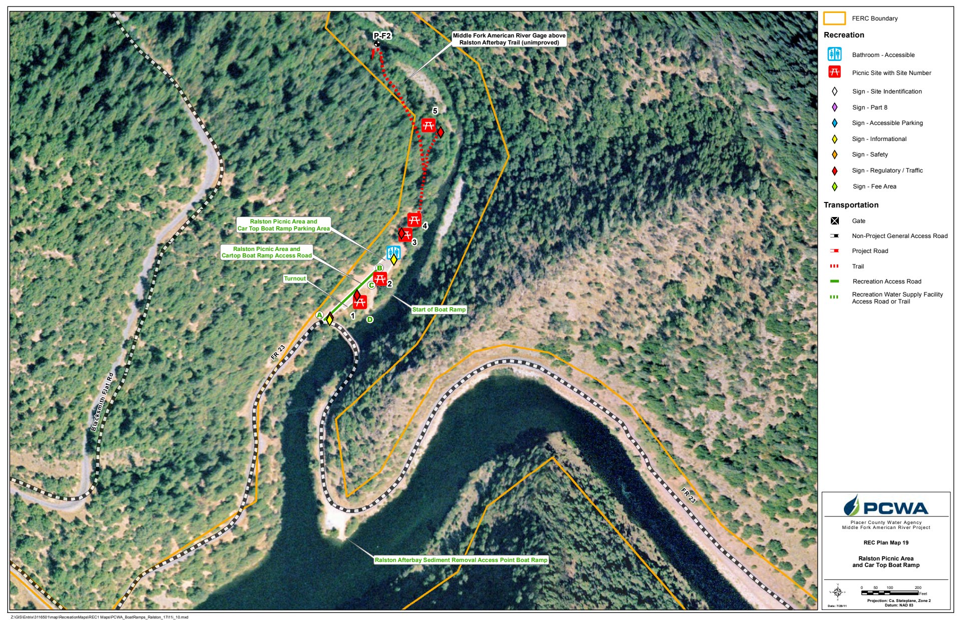
Ralston Picnic Area/Car Top Boat Ramp

